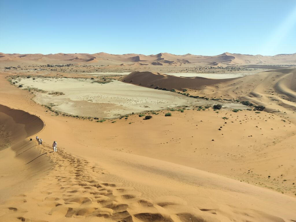
“We’re of the same blood, you and I.”
R. Kipling, The Jungle Book
Table of Contents
Introduction
When we found ourselves in the Himba village near Opuwo, I was thinking of the identification phrase used by the jungle dwellers, devised by Kipling in his most famous work, with which I began this travelogue. I won’t deny that the enormous differences between the people I was observing and the Western society to which I belong may, at times, have made it hard to believe that we belonged to the same millennium, but this was probably due to the superficiality that can sometimes overwhelm us all. I would, however, challenge anyone accustomed to living in modern societies not to be taken aback when a guide, whilst explaining the significance of certain accessories worn by young women of childbearing age, says verbatim, with carefree naturalness, that in such cases they ‘can finally be used as women’ (notwithstanding the fact that, in some respects, one ought not to be surprised by anything).
The visit to the Himba village was one of the most unforgettable moments of the trip, coming at the end of our adventure in Damaraland – one of the most remote and fascinating regions of the Namibian hinterland – which we reached following an incredible day at Sandwich Harbour. You can expect foul odours, shipwrecks, rocky mountains, rock art, breathtaking sunsets, remote villages and giraffes crossing the road as if they were ordinary pedestrians. Make yourselves comfortable.
Itinerary in pills
As I was planning the itinerary for the two days I’m discussing in this article, I became increasingly aware that the places we’d reached at that stage of the journey would have deserved considerably more time. We were, in fact, travelling through two vast administrative regions in north-western Namibia – Erongo and Kunene – which were impossible to cover in their entirety (at least as far as the main attractions were concerned) in such a tight timeframe. This was therefore the part where we had to make the most significant cuts to the itinerary, due to time constraints that meant we couldn’t spare even a single extra day.
Both regions are home to the so-called Skeleton Coast – a strip of land jutting out into the sea that stretches for around 1,500 km between Swakopmund and the Kunene River, on the border with Angola – and Damaraland, a geographical region named after the Damara people, its traditional inhabitants. Kaokoland, the region of the Himba people, lies solely within Kunene.
Skeleton Coast
The Skeleton Coast is one of the most remote and spectacular areas of Namibia, a realm of absolute silence and ocean mists, which lend the landscapes a solemn and unspoilt character. As is the case with Sandwich Harbour, situated just off the Skeleton Coast, here too the desert dunes meet the Atlantic Ocean, offering landscapes that are, in some places, even more spectacular. The Skeleton Coast is, however, much less visited, due to the difficulty of accessing these areas, which are protected by the Skeleton Coast National Park (which restricts access to specialist tours to safeguard the fragility of the terrain) and are hard to reach because of the lack of roads worthy of the name, not to mention their distance from the main roads. The gateway to the Skeleton Coast National Park is Torra Bay, an old fishing station, whilst among the most remote spots, Cape Frio, on the border with Angola, is worth mentioning. Due to time constraints, our visit to the Skeleton Coast focused on the areas around Henties Bay and Cape Cross – locations known respectively for hosting some significant shipwrecks and a huge colony of sea lions – and easily accessible from Swakopmund, the town where we had stayed overnight on our return from climbing Dune 7.
Damaraland
Damaraland is another truly spectacular region of Namibia. It is home to the country’s most famous examples of rock art, concentrated mainly around Twyfelfontein, Brandberg Mountain and Spitzkoppe, as well as rocky landscapes teeming with wildlife, which you’ll often come across whilst driving along the main roads. Among the most notable species inhabiting the region, the desert elephant and the black rhinoceros are certainly worth mentioning. To make the most of our time and route, we decided to skip Twyfelfontein and focus on Spitzkoppe and Brandberg Mountain. Spitzkoppe is renowned both for its rock art and its imposing rock formations, predominantly made of granite and dating back over 100 million years. Among these, the best known is The Arch, a large natural arch situated in a spot that also offers splendid views of the desert. The Brandberg, on the other hand, is home to the most important rock engraving, namely the White Lady. The main settlement in Damaraland – although it is actually a small village – is Khorixas, which is usually used as a base for an overnight stay. Due to the distance involved (it’s worth noting that the day we spent visiting Damaraland was the most demanding in terms of kilometres travelled), we decided to stay a little further south, in Omangambo, a remote village that I still find hard to believe we actually found.
Kaokoland
Kaokoland is probably the most remote part of Namibia and is the realm of the Himba, a people who live more or less in a primitive state. The most visited spot in the region is undoubtedly the Epupa Falls, formed by the Kunene River, situated on the border with Angola. The town generally used as a base for exploring Kaokoland is Opuwo, which is also the administrative capital of the Kunene region. The main reason for our visit to Kaokoland was to meet the Himba people, an arrangement organised through the host of our B&B. We reluctantly decided not to visit the Epupa Falls, as this would have required an extra day in our itinerary (taking into account the return journey from Opuwo), which we instead chose to use to explore the area around Aus.
Final itinerary
We spent the first day visiting the Skeleton Coast (Henties Bay and Cape Cross) and Damaraland, in the morning and afternoon respectively, whilst the second day was devoted to the journey to Opuwo, which took up the whole morning, and a visit to the Himba village, which took place in the afternoon. On the third day, we finally set off for Etosha National Park, which I will discuss elsewhere.
Below is a summary table of our itinerary.
| Day | Itinerary | Night | Map | km/time |
|---|---|---|---|---|
| 1 | Henties Bay, Cape Cross, Spitzkoppe, Brandberg, Omangambo | Omangambo | Swakopmund-Omangambo | 475/6h30m |
| 2 | Transfer to Opuwo and Himba village | Opuwo | Omangambo-Opuwo | 450/5h |
| 3 | Morning transfer to Etosha | – | – | – |
Day 1: Skeleton Coast and Damaraland
Henties Bay and Cape Cross
The first stop on our itinerary – which is set to be a very busy day – is the Seal Reserve di Cape Cross, a reserve that is home to between 80,000 and 200,000 sea lions (the number varies depending on the breeding season). Sea lions can grow up to 2.5 metres in height and weigh as much as 300 kg. As you might imagine, the reason for the high concentration of these animals around the reserve is the availability of food, specifically fish.
As ChatGPT had informed us that the opening time was 10 am (in August), we set off from Swakopmund – the town where we’d spent the previous night – at around 8 am, given that the journey takes about an hour and a half. On the way, we stopped off at Henties Bay, a spot within Dorob National Park, home to the Zelia wreck – a fishing boat that ran aground near the beach in 2008 and has never been removed. The wreck beach is easily reached from the main road, is well signposted and is freely accessible.
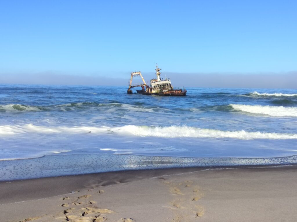
As well as the Zelia, Dorob National Park – which literally means ‘place of abundant waters’ – is home to other shipwrecks, some of which date back to 2023.
We arrived at the sea lion reserve at 10 am, only to discover that it had actually been open since 8 am (so ChatGPT was wrong). For entry to the reserve, we pay 800 NAD (around €40) in total, including the 5 admission fees. The visit to the reserve is rather quick, for at least two reasons. The first is down to the presence of a boardwalk, which makes the guided route short. The second, however, is the terrible smell you encounter precisely because of the sea lions. We managed to get through it in about half an hour. The sea lions are very cute, but it’s essential not to go beyond the fences, as they can also be very aggressive. It’s quite a spectacular sight – there are absolutely loads of them.

Spitzkoppe
After visiting the sea lion reserve, we set off again to reach Spitzkoppe. We arrive at our destination around lunchtime; in fact, it takes us just over two hours to cover the distance from Cape Cross. This greatly limits our ability to explore the area, which actually has a lot to offer. It is also possible to take part in game drives to spot the local wildlife.
To enter the area, we pay a total of 800 NAD (€40), which, as usual, includes the 5 individual entry fees and the vehicle fee. This fee grants access to the areas that can be visited without a guide, which cover only a small proportion of the total area. Below is a map of the area, including the notes provided by the receptionist.
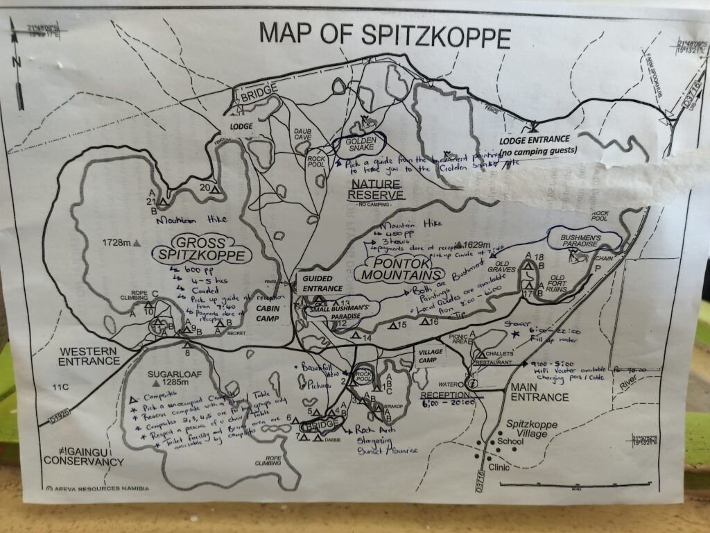
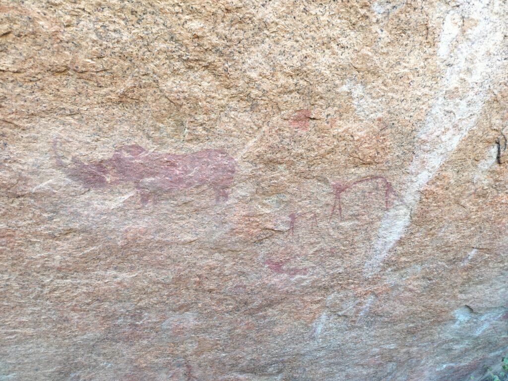
Our visit focuses on some rock paintings and, above all, on the natural arch, both of which are easily accessible and included in the admission fee. As for the rock paintings, you need to tip the caretaker, who also acts as a guide. In reality, his ‘job’ consists solely of opening a sort of gate, beyond which, after just a few metres, you reach the engraved rocks. His role as a guide is even simpler. Looking at the rock face, which features just a few drawings, he simply tells us, ‘This is a rhinoceros, this is a lion, this is a gazelle.’ That’s it. I’d say 10 NAD (€0.50) well spent.
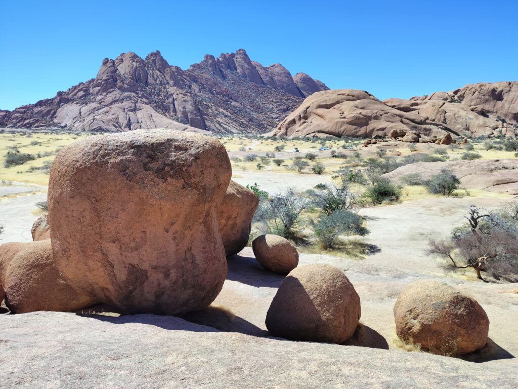
We soon arrive at the natural arch, which is easily reached in a 5-minute walk after leaving the car at the nearest spot (which I wouldn’t exactly call a car park). The arch is a rather striking formation, set within a landscape which, in my opinion, is the real highlight of the area. We therefore take a little time to snap a few photos.


Brandberg and Omangambo
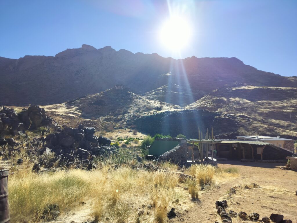
It is around 3 pm when we set off again from Spitzkoppe towards Mount Brandberg, deciding against the opportunity to explore the area in more detail via the guided trails. At 2,600 metres above sea level, the Brandberg is Namibia’s highest mountain and is listed as a National Monument. In the Brandberg area, there are thousands of rock engravings, including the White Lady, considered the most important of them all. The White Lady actually depicts a ritual dance, in which the figure of a shaman stands out. The name ‘White Lady’ comes from a scholar who had hypothesised that the central figure portrayed a woman.
To reach the White Lady, you’ll need to hire a guide – who can be booked directly on site – to accompany visitors into the Tsiseb Gorge, through which you reach your destination. Allow around two hours in total for the visit. Unfortunately, we arrived at the entrance to the site shortly after 4 pm, which is closing time (don’t trust ChatGPT on this either!), and our attempts to persuade the staff to make an exception for us, given how little time had passed, proved fruitless.
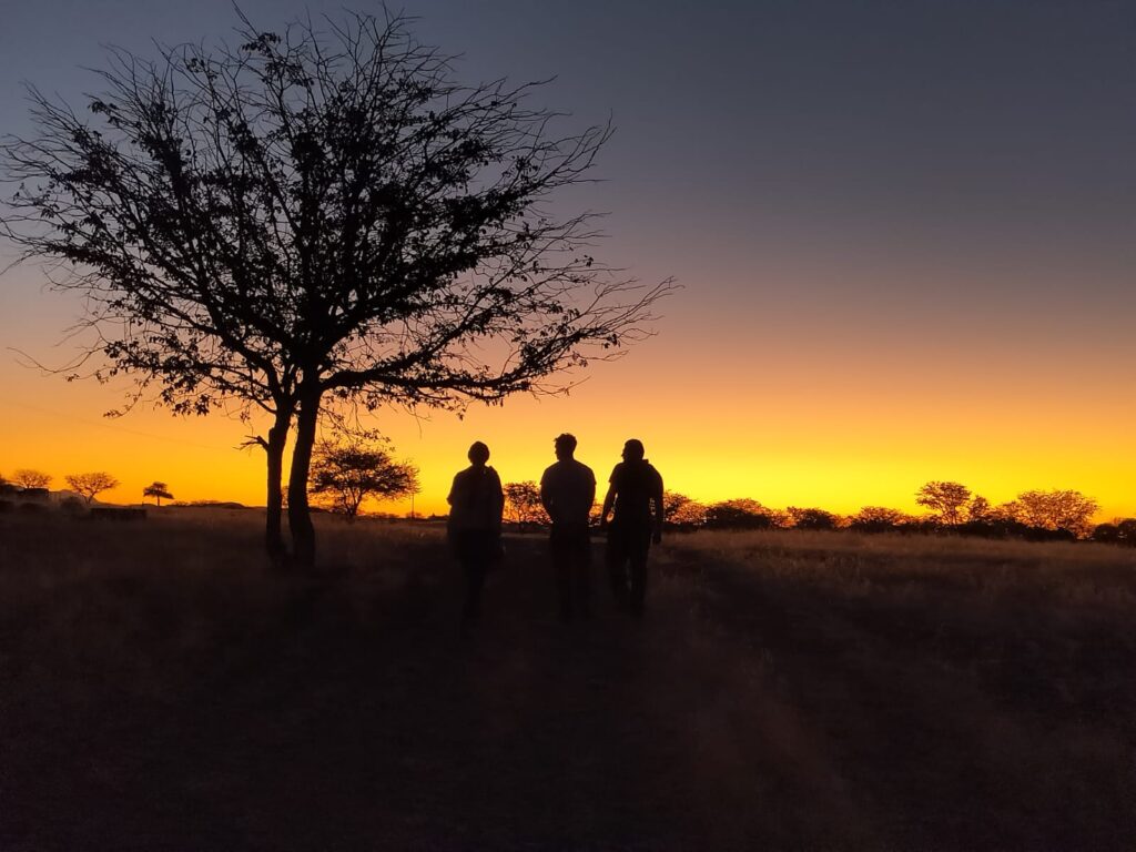
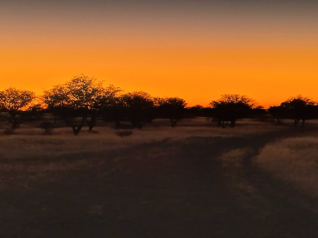
As we no longer had time to return to Spitzkoppe and visit the parts we’d missed (namely those requiring a guide), we decided at this point to head straight for Omangambo, the village where we’d booked our B&B, which cost us €38 (for the five of us!). There’s a lot to say about Omangambo. It’s perhaps the least touristy place I’ve ever visited, so much so that not even the police (who stopped us a few kilometres away) knew where it was. It’s a small village where the houses – generally very basic – are quite far apart; in fact, there wasn’t anyone. We found a small shop open, which seemed to have been waiting for our arrival; in fact, we buy some groceries to share with the local people. Even today, I still can’t explain how the place we stayed in ended up on Airbnb. It must be said, however, that in Omangambo, we witnessed the most spectacular sunset of the whole trip.
Day 2: Kaokoland
We set off from Omangambo first thing in the morning, heading for Opuwo to meet Patricio, the host of our B&B and our designated guide for our visit to the Himba village. It’s possible to arrange a visit to the village either in the morning or in the afternoon; we opted for the latter, as it takes about four hours by road to reach Opuwo. The agreed cost of the tour is 1,650 NAD (around €82), to be split between five of us (so roughly €16 each), including groceries to be donated to the villagers.
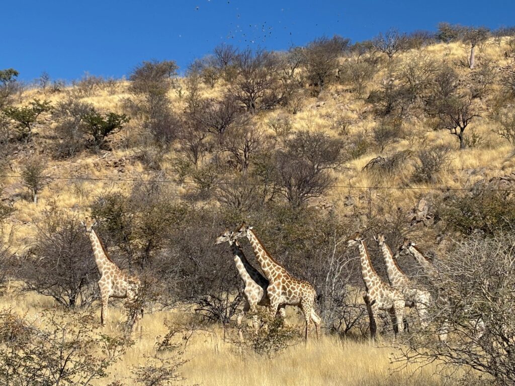
During the drive, we come across some local wildlife, which often crosses the road with nonchalance.
We arrive in Opuwo at around 1 pm; after checking in, we set off on our adventure. Our first stop is the supermarket, where we buy some groceries, a few toys for the children and some otjize – a mixture of butter and red ochre that women use for body care. In the supermarket, we also spot some Himba women, whom we recognise easily by their clothing and bare breasts.
We drive to the village in our own car; in this case, a 4×4 is essential. If you don’t have a 4×4, it’s also possible to travel to the village in the guide’s car, at an additional cost. First of all, we wait for Patricio to receive permission from the village chief to begin the visit, which is granted partly thanks to the gifts we have brought. In fact, such permission is not necessarily a given for outsiders.
We are immediately swarmed by a group of children; some of them have strange marks on their skin, so as a precaution we try to avoid physical contact, though with little success. The children ask to have their photos taken with us using our mobile phones, which they find fascinating. We also play a bit of ball, using sheets of paper stuck together with sticky tape, as we hadn’t found any balls at the supermarket.
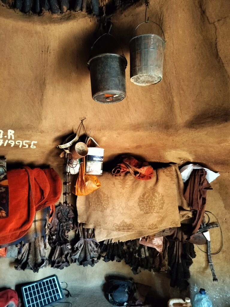
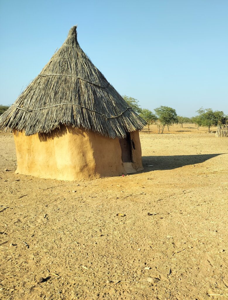
Then comes the time to learn a little about their customs and traditions. In some respects, the Himba people are somewhat similar to the Maasai we had met in Tanzania. Their dwellings consist of huts held together with mud and animal dung, inside which there is a rather nauseating smell for those unused to it. Among other elements characteristic of the Himba (or of both cultures), I’ll mention a few:
- Women wear accessories that vary depending on whether or not they have reached puberty and whether they are married. Polygyny (that is, one-way polygamy, whereby a man may have several wives, but not vice versa) is widespread. Naturally, wives are not chosen strictly for love.
- Being unable to have children is seen as a sort of curse, but also as something to tease childless Western couples about.
- Girls are allowed to go to school, but boys are not. This is because it is thought that, by learning about the world outside the villages, they might be tempted to leave, and in that case it is better for the men to stay. Women are not considered quite so indispensable.
- Himba women take great care of their skin, which they moisturise with otjize, a substance that gives them their characteristic reddish colour.
As we listened to their stories, patiently translated by Patricio, we were asked to adopt a few children from their own mothers, whilst a couple of girls offered themselves as brides to our only single team member.
The visit to the Himba village takes up the whole afternoon. Overall, the experience struck me as much more profound than the one with the Maasai, as well as being less touristy. I certainly count it amongst the most beautiful and interesting moments of the trip.
We spend the night in Opuwo, from where we set off the following day for Etosha National Park. But that’s another story.
Conclusions
The two days I’ve talked about in this article were undoubtedly on a par with the previous ones, although the places we visited were far less touristy than the rest.
As for Damaraland, it certainly would have been worth spending much more time there. Looking back, apart from not trusting ChatGPT (missing out on the White Lady remains an indelible regret), I’d plan an extra day to explore the Spitzkoppe area more thoroughly, including the guided tours. Given the same amount of time, I’d probably sacrifice the day spent around Aus.
The experience with the Himba, then, was one of the most significant and intense moments of the trip – perhaps the one I cherish most, alongside the climb up Big Daddy. An indescribable moment, as thrilling as it was, in some ways, unsettling. Definitely a must for any proper trip to Namibia.
Related articles: